Lighthouse Systems site
Introduction
The photograph on this page of Lighthouse Systems site by Geoff Cole as part of the Geograph project.
The Geograph project started in 2005 with the aim of publishing, organising and preserving representative images for every square kilometre of Great Britain, Ireland and the Isle of Man.

There are currently over 7.5m images from over 14,400 individuals and you can help contribute to the project by visiting https://www.geograph.org.uk
Lighthouse Systems site
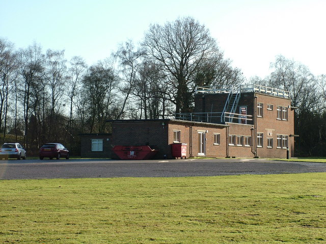
Image: © Geoff Cole Taken: 19 Dec 2005
This is the Lighthouse Systems building at Pease Pottage. A local chap I know remembers it being built and assures me that the majority of the site is built underground, beneath the unfeasably large circular carpark and grounds.
Images are licensed for reuse under creativecommons.org/licenses/by-sa/2.0
Image Location
Latitude
51.083524
Longitude
-0.211196