Leam Street
Introduction
The photograph on this page of Leam Street by Robin Stott as part of the Geograph project.
The Geograph project started in 2005 with the aim of publishing, organising and preserving representative images for every square kilometre of Great Britain, Ireland and the Isle of Man.

There are currently over 7.5m images from over 14,400 individuals and you can help contribute to the project by visiting https://www.geograph.org.uk
Leam Street
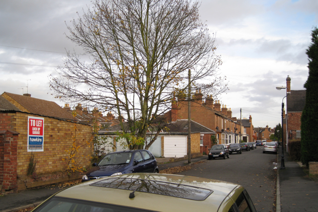
Image: © Robin Stott Taken: 31 Oct 2009
One of several streets of densely-packed terraced houses hidden away between the Willes Road and Leam Terrace East. In typical Leamington fashion some of the original plots were not built on but were developed later at different times.
Images are licensed for reuse under creativecommons.org/licenses/by-sa/2.0
Image Location
Latitude
52.285772
Longitude
-1.52205