Beaconsfield Street West
Introduction
The photograph on this page of Beaconsfield Street West by Robin Stott as part of the Geograph project.
The Geograph project started in 2005 with the aim of publishing, organising and preserving representative images for every square kilometre of Great Britain, Ireland and the Isle of Man.

There are currently over 7.5m images from over 14,400 individuals and you can help contribute to the project by visiting https://www.geograph.org.uk
Beaconsfield Street West
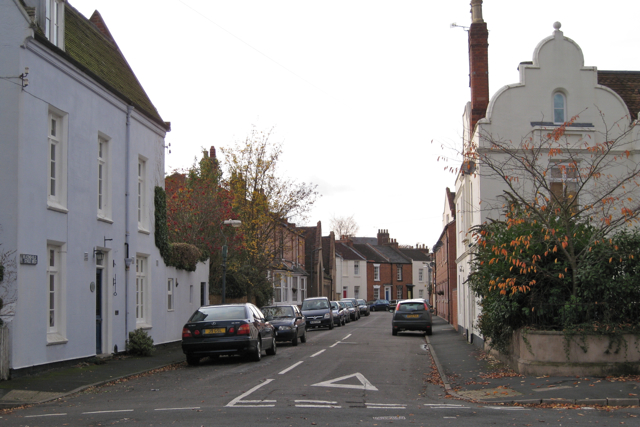
Image: © Robin Stott Taken: 31 Oct 2009
Seen from its junction with St Mary's Road. The gabled building in the centre of the photo is the enigmatic The Cloisters: Image Image The ornamental type of gable on the right is seen elsewhere in the town.
Images are licensed for reuse under creativecommons.org/licenses/by-sa/2.0
Image Location
Latitude
52.286677
Longitude
-1.523506