Footpath 24 alongside Harolyn
Introduction
The photograph on this page of Footpath 24 alongside Harolyn by Hugh Craddock as part of the Geograph project.
The Geograph project started in 2005 with the aim of publishing, organising and preserving representative images for every square kilometre of Great Britain, Ireland and the Isle of Man.

There are currently over 7.5m images from over 14,400 individuals and you can help contribute to the project by visiting https://www.geograph.org.uk
Footpath 24 alongside Harolyn
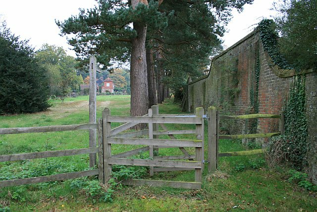
Image: © Hugh Craddock Taken: 19 Oct 2009
Footpath Reigate 24 from Buckland Green to Reigate Heath follows the wall (on the right) forming the boundary of Harolyn, with Clifton Cottage visible on the far side of the field.
Images are licensed for reuse under creativecommons.org/licenses/by-sa/2.0
Image Location
Latitude
51.243234
Longitude
-0.228648