St Anne's Catterick
Introduction
The photograph on this page of St Anne's Catterick by Gordon Hatton as part of the Geograph project.
The Geograph project started in 2005 with the aim of publishing, organising and preserving representative images for every square kilometre of Great Britain, Ireland and the Isle of Man.

There are currently over 7.5m images from over 14,400 individuals and you can help contribute to the project by visiting https://www.geograph.org.uk
St Anne's Catterick
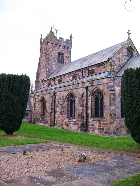
Image: © Gordon Hatton Taken: 28 Oct 2009
Parish church of Catterick, built mostly in the early 15th century. The 1:25000 map shows the church just within this square, and is probably more accurate than the 1:50000 map.
Images are licensed for reuse under creativecommons.org/licenses/by-sa/2.0
Image Location
Latitude
54.37676
Longitude
-1.631728