Bramcote Lane, Wollaton
Introduction
The photograph on this page of Bramcote Lane, Wollaton by Stephen McKay as part of the Geograph project.
The Geograph project started in 2005 with the aim of publishing, organising and preserving representative images for every square kilometre of Great Britain, Ireland and the Isle of Man.

There are currently over 7.5m images from over 14,400 individuals and you can help contribute to the project by visiting https://www.geograph.org.uk
Bramcote Lane, Wollaton
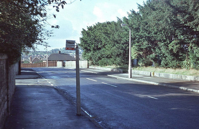
Image: © Stephen McKay Taken: Unknown
Beyond this point Bramcote Lane drops quite steeply to its junction with Wollaton Vale; Parkside - which runs along the south western edge of Wollaton Park - leads off to the left. Note the Trent bus stop flag mounted rather awkwardly on a concrete post designed to take a traditional small square Midland General flag mounted on top - by 1977, however, Midland General had been absorbed by Trent.
Images are licensed for reuse under creativecommons.org/licenses/by-sa/2.0
Image Location
Latitude
52.950356
Longitude
-1.225424