Monreith House
Introduction
The photograph on this page of Monreith House by Ann Cook as part of the Geograph project.
The Geograph project started in 2005 with the aim of publishing, organising and preserving representative images for every square kilometre of Great Britain, Ireland and the Isle of Man.

There are currently over 7.5m images from over 14,400 individuals and you can help contribute to the project by visiting https://www.geograph.org.uk
Monreith House
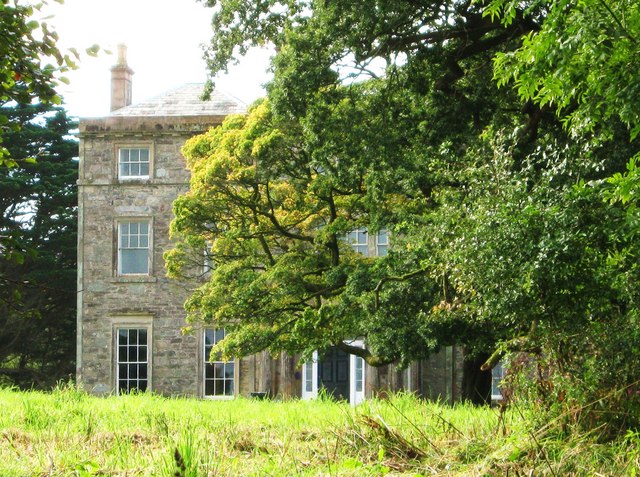
Image: © Ann Cook Taken: 17 Sep 2009
It is impossible to get a clearer view of Monreith House without trespassing on private land. This view is taken from the tiny car park provided for visitors to White Loch of Myrton.
Images are licensed for reuse under creativecommons.org/licenses/by-sa/2.0
Image Location
Latitude
54.753705
Longitude
-4.55612