Hollin Greaves Lane, Halifax
Introduction
The photograph on this page of Hollin Greaves Lane, Halifax by Humphrey Bolton as part of the Geograph project.
The Geograph project started in 2005 with the aim of publishing, organising and preserving representative images for every square kilometre of Great Britain, Ireland and the Isle of Man.

There are currently over 7.5m images from over 14,400 individuals and you can help contribute to the project by visiting https://www.geograph.org.uk
Hollin Greaves Lane, Halifax
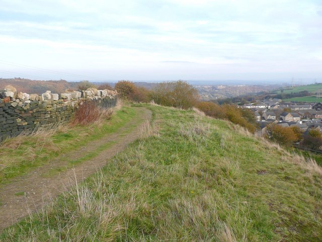
Image: © Humphrey Bolton Taken: 29 Oct 2009
Apparently a public highway used as a footpath or bridleway. There was a row of cottages on the right, still shown on the OS map revised in 1930 ; twelve back-to-backs and four throughs of irregular shape. They had panoramic views.
Images are licensed for reuse under creativecommons.org/licenses/by-sa/2.0
Image Location
Latitude
53.731208
Longitude
-1.855964