Killhope Burn below Burtreeford Bridge
Introduction
The photograph on this page of Killhope Burn below Burtreeford Bridge by Andrew Curtis as part of the Geograph project.
The Geograph project started in 2005 with the aim of publishing, organising and preserving representative images for every square kilometre of Great Britain, Ireland and the Isle of Man.

There are currently over 7.5m images from over 14,400 individuals and you can help contribute to the project by visiting https://www.geograph.org.uk
Killhope Burn below Burtreeford Bridge
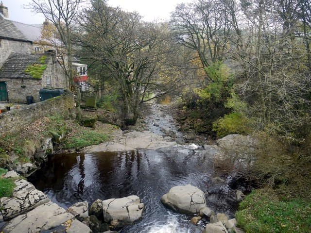
Image: © Andrew Curtis Taken: 30 Oct 2009
Same view as Image but with leaves now off most of the trees. The rear of Burtreeford House is visible on the left.
Images are licensed for reuse under creativecommons.org/licenses/by-sa/2.0
Image Location
Latitude
54.759404
Longitude
-2.228553