Wolverhampton Ring Road St Andrew's
Introduction
The photograph on this page of Wolverhampton Ring Road St Andrew's by Roger D Kidd as part of the Geograph project.
The Geograph project started in 2005 with the aim of publishing, organising and preserving representative images for every square kilometre of Great Britain, Ireland and the Isle of Man.

There are currently over 7.5m images from over 14,400 individuals and you can help contribute to the project by visiting https://www.geograph.org.uk
Wolverhampton Ring Road St Andrew's
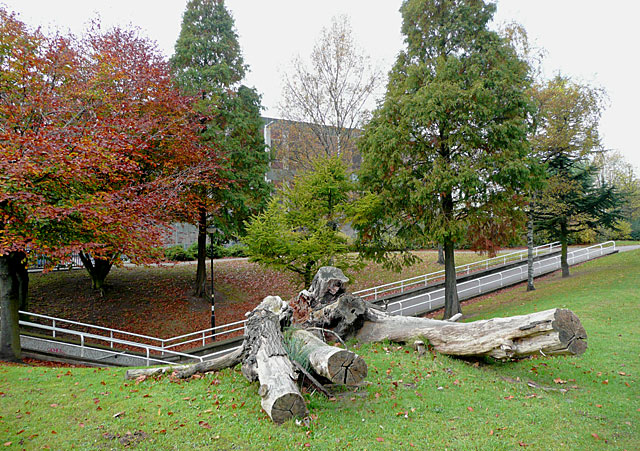
Image: © Roger D Kidd Taken: 30 Oct 2009
This part of the ring road has an attractive landscaped area between the carriageways, complete with pathways and cast-iron (maybe) benches, a kind of linear park. The slope to the left leads into the landscaped centre of the Chapel Ash roundabout.
Images are licensed for reuse under creativecommons.org/licenses/by-sa/2.0
Image Location
Latitude
52.585129
Longitude
-2.135152