Martinshaw Wood, Groby
Introduction
The photograph on this page of Martinshaw Wood, Groby by Kate Jewell as part of the Geograph project.
The Geograph project started in 2005 with the aim of publishing, organising and preserving representative images for every square kilometre of Great Britain, Ireland and the Isle of Man.

There are currently over 7.5m images from over 14,400 individuals and you can help contribute to the project by visiting https://www.geograph.org.uk
Martinshaw Wood, Groby
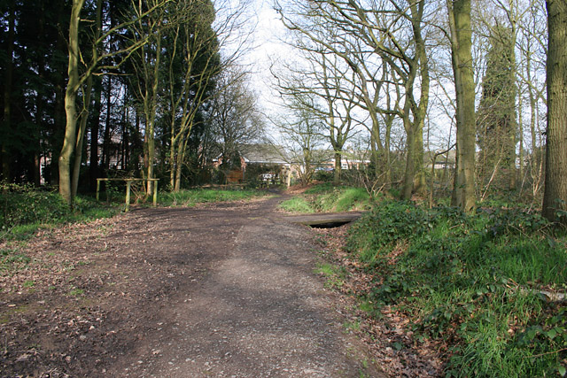
Image: © Kate Jewell Taken: 21 Apr 2006
This ancient woodland is criss-crossed by many paths and rides. A late 1940s/1950s housing estate on the edge of Groby backs onto the eastern edge of the woodland. See http://www.wt-woods.org.uk/martinshawwood for more information.
Images are licensed for reuse under creativecommons.org/licenses/by-sa/2.0
Image Location


Leaflet Map data © OpenStreetMap
Latitude
52.66278
Longitude
-1.239979