Track to Grove Farm
Introduction
The photograph on this page of Track to Grove Farm by Tony Bailey as part of the Geograph project.
The Geograph project started in 2005 with the aim of publishing, organising and preserving representative images for every square kilometre of Great Britain, Ireland and the Isle of Man.

There are currently over 7.5m images from over 14,400 individuals and you can help contribute to the project by visiting https://www.geograph.org.uk
Track to Grove Farm
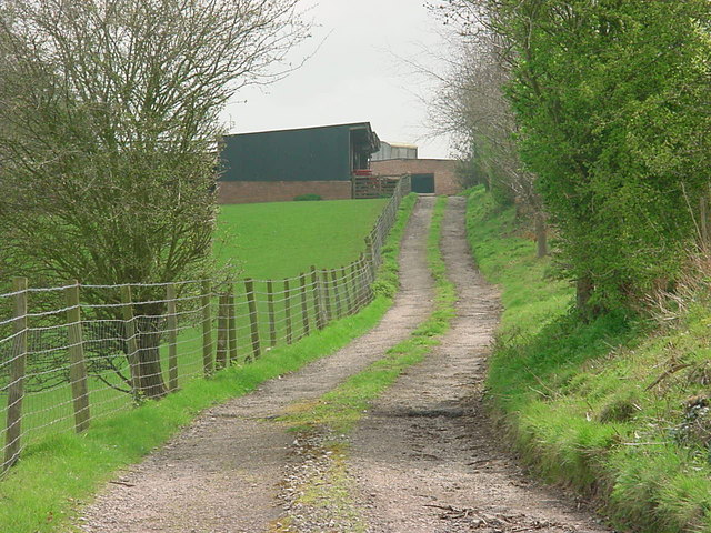
Image: © Tony Bailey Taken: 21 Apr 2006
This track leads from the A4151 up to Grove Farm and then on to The Grove (a private dwelling). To the right and up the hill is an ancient earthwork.
Images are licensed for reuse under creativecommons.org/licenses/by-sa/2.0
Image Location
Latitude
51.820113
Longitude
-2.46276