Pasture, Burghfield
Introduction
The photograph on this page of Pasture, Burghfield by Andrew Smith as part of the Geograph project.
The Geograph project started in 2005 with the aim of publishing, organising and preserving representative images for every square kilometre of Great Britain, Ireland and the Isle of Man.

There are currently over 7.5m images from over 14,400 individuals and you can help contribute to the project by visiting https://www.geograph.org.uk
Pasture, Burghfield
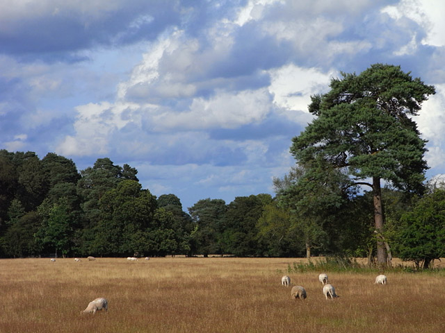
Image: © Andrew Smith Taken: 24 Jul 2009
Sheep grazing to the east of Island Farm Road at Firlands.
Images are licensed for reuse under creativecommons.org/licenses/by-sa/2.0
Image Location
Latitude
51.393368
Longitude
-1.077794