Housing Estate at Stanhope
Introduction
The photograph on this page of Housing Estate at Stanhope by Oast House Archive as part of the Geograph project.
The Geograph project started in 2005 with the aim of publishing, organising and preserving representative images for every square kilometre of Great Britain, Ireland and the Isle of Man.

There are currently over 7.5m images from over 14,400 individuals and you can help contribute to the project by visiting https://www.geograph.org.uk
Housing Estate at Stanhope
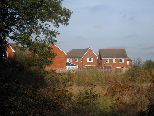
Image: © Oast House Archive Taken: 29 Oct 2009
New housing on the edge of the Stanhope area of Ashford. The fields to the North side of Pound Lane are repidly disappearing as the estate encroaches on the village of Kingsnorth, which will soon be swallowed up and become just another area of Ashford.
Images are licensed for reuse under creativecommons.org/licenses/by-sa/2.0
Image Location
Latitude
51.121431
Longitude
0.855062