Canterbury Road meets the A2
Introduction
The photograph on this page of Canterbury Road meets the A2 by David Anstiss as part of the Geograph project.
The Geograph project started in 2005 with the aim of publishing, organising and preserving representative images for every square kilometre of Great Britain, Ireland and the Isle of Man.

There are currently over 7.5m images from over 14,400 individuals and you can help contribute to the project by visiting https://www.geograph.org.uk
Canterbury Road meets the A2
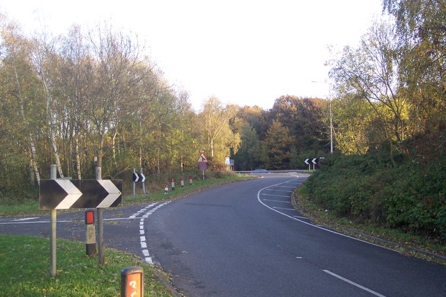
Image: © David Anstiss Taken: 25 Oct 2009
Canterbury Road from Dunkirk, and Boughton Street, joins the busy dual carriageway heading left towards Canterbury. The small road on the left is a link road to a few houses on the A2.
Images are licensed for reuse under creativecommons.org/licenses/by-sa/2.0
Image Location
Latitude
51.290211
Longitude
0.990033