Bridge of Faillie
Introduction
The photograph on this page of Bridge of Faillie by David Greenhalgh as part of the Geograph project.
The Geograph project started in 2005 with the aim of publishing, organising and preserving representative images for every square kilometre of Great Britain, Ireland and the Isle of Man.

There are currently over 7.5m images from over 14,400 individuals and you can help contribute to the project by visiting https://www.geograph.org.uk
Bridge of Faillie
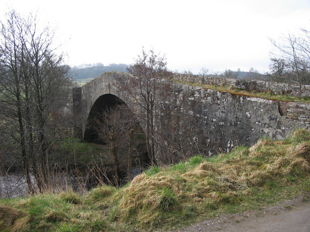
Image: © David Greenhalgh Taken: 21 Apr 2006
General Wade's military road south from Inverness crosses over this bridge. I expect the bridge was built as part of the road. Now a very minor road used by only local traffic.
Images are licensed for reuse under creativecommons.org/licenses/by-sa/2.0
Image Location


Leaflet Map data © OpenStreetMap
Latitude
57.414036
Longitude
-4.147567