Footpath junction near Dargate
Introduction
The photograph on this page of Footpath junction near Dargate by David Anstiss as part of the Geograph project.
The Geograph project started in 2005 with the aim of publishing, organising and preserving representative images for every square kilometre of Great Britain, Ireland and the Isle of Man.

There are currently over 7.5m images from over 14,400 individuals and you can help contribute to the project by visiting https://www.geograph.org.uk
Footpath junction near Dargate
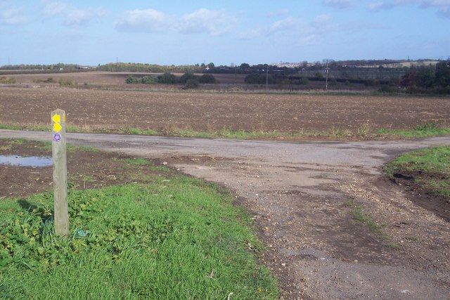
Image: © David Anstiss Taken: 26 Oct 2009
A bridleway from Plumpudding Lane leads left on the metalled track towards Butler's Hill. A footpath leads right across the field past Dargate House to A299 Thanet Way, it also heads left across another field to Butler's Hill near Dargate. The footpaths at this junction do not match the post or the markers.
Images are licensed for reuse under creativecommons.org/licenses/by-sa/2.0
Image Location
Latitude
51.316307
Longitude
0.978957