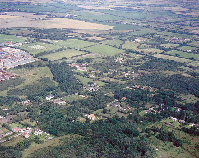
Aerial view of Thundersley Plotlands Lake District
Introduction
The photograph on this page of Aerial view of Thundersley Plotlands Lake District by Edward Clack as part of the Geograph project.
The Geograph project started in 2005 with the aim of publishing, organising and preserving representative images for every square kilometre of Great Britain, Ireland and the Isle of Man.
There are currently over 7.5m images from over 14,400 individuals and you can help contribute to the project by visiting https://www.geograph.org.uk

Image: © Edward Clack Taken: 3 Aug 1987
This area of plotlands is known as the 'Lake District' because many of the roads are named after Cumbrian lakes. Bassenthwaite Road runs from just above the lower left corner to a point below the centre. Keswick Road runs above and parallel to this up to a group of houses below-left of centre. Here it meets Windermere Road which runs down to the lower right, and also runs left, then turns to run to the right. Coniston Road runs from Windermere Road (between the junctions with Keswick Road and Bassenthwaite Road) to the centre left (and parallel with Windermere Road). The patch of woodland between Keswick Road and Bassenthwaite Road includes the Thundersley Oaks nature conservation area Image

