A167 on the southern approaches to Durham
Introduction
The photograph on this page of A167 on the southern approaches to Durham by Oliver Dixon as part of the Geograph project.
The Geograph project started in 2005 with the aim of publishing, organising and preserving representative images for every square kilometre of Great Britain, Ireland and the Isle of Man.

There are currently over 7.5m images from over 14,400 individuals and you can help contribute to the project by visiting https://www.geograph.org.uk
A167 on the southern approaches to Durham
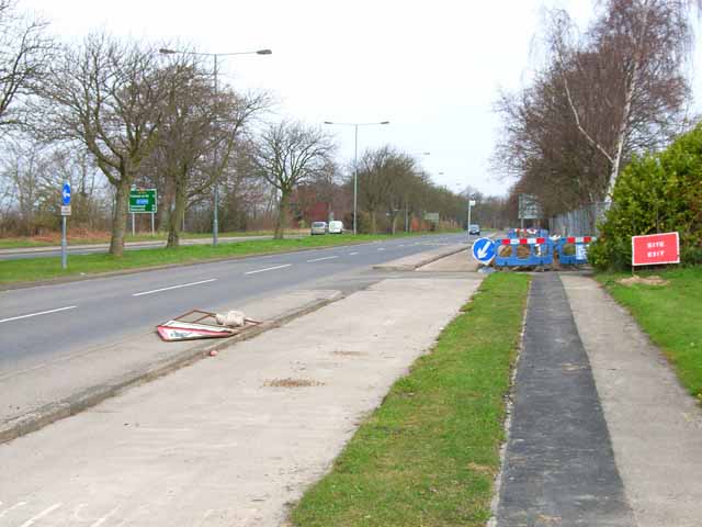
Image: © Oliver Dixon Taken: 20 Apr 2006
This section of road was at one time the A1 (Great North Road). Hence the dual carriageway and cycle tracks alongside. Despite the construction of the A1(M) on the east side of the city, this road is still extremely busy
Images are licensed for reuse under creativecommons.org/licenses/by-sa/2.0
Image Location
Latitude
54.75336
Longitude
-1.591342