Neston Street (late), Rotherhithe, London SE16
Introduction
The photograph on this page of Neston Street (late), Rotherhithe, London SE16 by Chris Lordan as part of the Geograph project.
The Geograph project started in 2005 with the aim of publishing, organising and preserving representative images for every square kilometre of Great Britain, Ireland and the Isle of Man.

There are currently over 7.5m images from over 14,400 individuals and you can help contribute to the project by visiting https://www.geograph.org.uk
Neston Street (late), Rotherhithe, London SE16
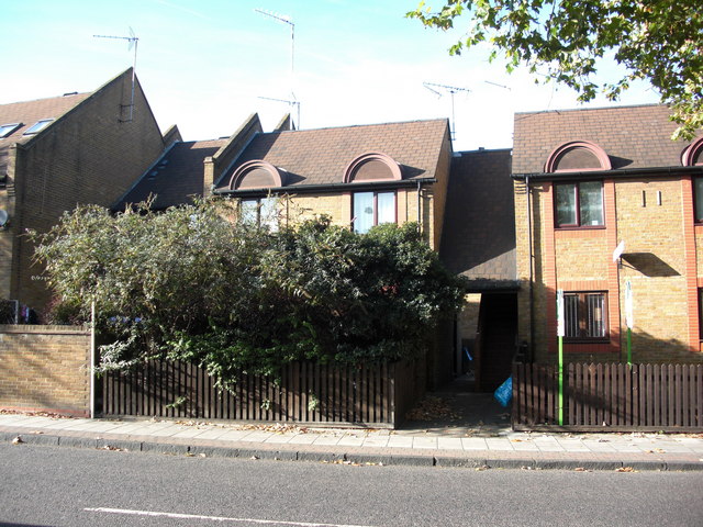
Image: © Chris Lordan Taken: 27 Oct 2009
Off Rotherhithe Street between Canon Beck Road and the smaller section of Brunel Road, therefore about where the dwellings shown now stand. Filled in about the early 1960s and originally called Wintershill Street, later changing to Hanover Street but for many years known by the locals as Hanover Bay. This dates back to the mid 1700s, through to the mid 1800s, when foreign seamen made the street world-infamous as a place where "slit throats hung out". See Image for additional information.
Images are licensed for reuse under creativecommons.org/licenses/by-sa/2.0
Image Location
Latitude
51.502251
Longitude
-0.049178