Dalling Road
Introduction
The photograph on this page of Dalling Road by P L Chadwick as part of the Geograph project.
The Geograph project started in 2005 with the aim of publishing, organising and preserving representative images for every square kilometre of Great Britain, Ireland and the Isle of Man.

There are currently over 7.5m images from over 14,400 individuals and you can help contribute to the project by visiting https://www.geograph.org.uk
Dalling Road
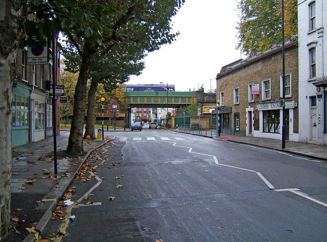
Image: © P L Chadwick Taken: 24 Oct 2009
The streets around here have many closed shops, and others which have been converted into residential use. The area has probably suffered from the opening of large shopping centres fairly nearby, such as King's Mall, and Broadway. The road coming from the left is Glenthorne Road. Ahead is a railway bridge. Image
Images are licensed for reuse under creativecommons.org/licenses/by-sa/2.0
Image Location
Latitude
51.494574
Longitude
-0.234336