Demolition site on Glaisdale Drive
Introduction
The photograph on this page of Demolition site on Glaisdale Drive by Alan Murray-Rust as part of the Geograph project.
The Geograph project started in 2005 with the aim of publishing, organising and preserving representative images for every square kilometre of Great Britain, Ireland and the Isle of Man.

There are currently over 7.5m images from over 14,400 individuals and you can help contribute to the project by visiting https://www.geograph.org.uk
Demolition site on Glaisdale Drive
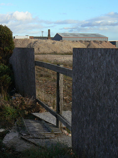
Image: © Alan Murray-Rust Taken: 25 Oct 2009
Changing economics has resulted in the decay of some of the older established industries in Bilborough.
Images are licensed for reuse under creativecommons.org/licenses/by-sa/2.0
Image Location
Latitude
52.961507
Longitude
-1.226118