Former Public House, Tilkey, Coggeshall
Introduction
The photograph on this page of Former Public House, Tilkey, Coggeshall by Trevor Harris as part of the Geograph project.
The Geograph project started in 2005 with the aim of publishing, organising and preserving representative images for every square kilometre of Great Britain, Ireland and the Isle of Man.

There are currently over 7.5m images from over 14,400 individuals and you can help contribute to the project by visiting https://www.geograph.org.uk
Former Public House, Tilkey, Coggeshall
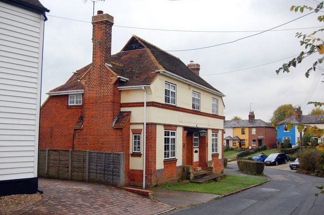
Image: © Trevor Harris Taken: 27 Oct 2009
There are still several pubs in Coggeshall, but previously there were many more. Several, like this one - now a private house - were in operation into the 70's when I lived locally, but have since closed. Unfortunately I can't remember the name with certainty even though I drank there a few times; it may have been called 'The Lamb.'
Images are licensed for reuse under creativecommons.org/licenses/by-sa/2.0
Image Location
Latitude
51.878891
Longitude
0.683694