View from Margett's Hill
Introduction
The photograph on this page of View from Margett's Hill by Michael Dibb as part of the Geograph project.
The Geograph project started in 2005 with the aim of publishing, organising and preserving representative images for every square kilometre of Great Britain, Ireland and the Isle of Man.

There are currently over 7.5m images from over 14,400 individuals and you can help contribute to the project by visiting https://www.geograph.org.uk
View from Margett's Hill
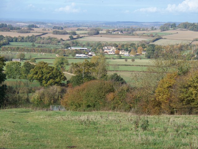
Image: © Michael Dibb Taken: 23 Oct 2009
The view from Margett's Hill are wonderful and far-reaching. The village of Cherington is in the middle distance.
Images are licensed for reuse under creativecommons.org/licenses/by-sa/2.0
Image Location


Leaflet Map data © OpenStreetMap
Latitude
52.025351
Longitude
-1.578172