Woodruff Avenue
Introduction
The photograph on this page of Woodruff Avenue by Simon Carey as part of the Geograph project.
The Geograph project started in 2005 with the aim of publishing, organising and preserving representative images for every square kilometre of Great Britain, Ireland and the Isle of Man.

There are currently over 7.5m images from over 14,400 individuals and you can help contribute to the project by visiting https://www.geograph.org.uk
Woodruff Avenue
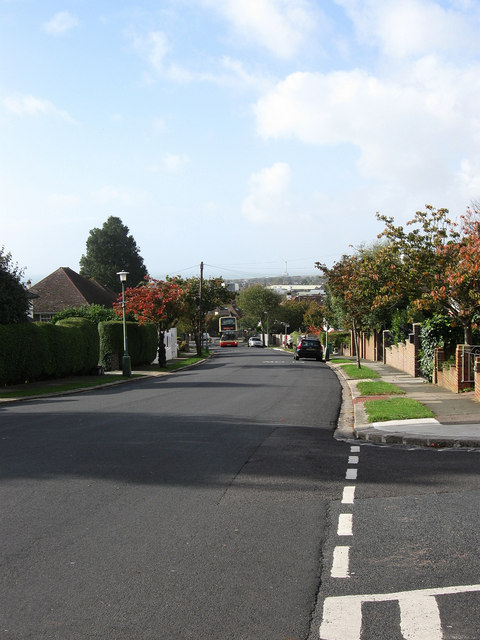
Image: © Simon Carey Taken: 25 Oct 2009
Residential road linking Dyke Road with Goldstone Crescent. This section lies between Tongdean Avenue and Shirley Drive with the 27a which runs between Hangleton and Saltdean having just turned into the road. The road also descends quite sharply here allowing spectacular views as far as the Isle of Wight on a clear day and Worthing Pier on duller days.
Images are licensed for reuse under creativecommons.org/licenses/by-sa/2.0
Image Location
Latitude
50.845105
Longitude
-0.164221