Ambrose Lane bridge
Introduction
The photograph on this page of Ambrose Lane bridge by Martin Addison as part of the Geograph project.
The Geograph project started in 2005 with the aim of publishing, organising and preserving representative images for every square kilometre of Great Britain, Ireland and the Isle of Man.

There are currently over 7.5m images from over 14,400 individuals and you can help contribute to the project by visiting https://www.geograph.org.uk
Ambrose Lane bridge
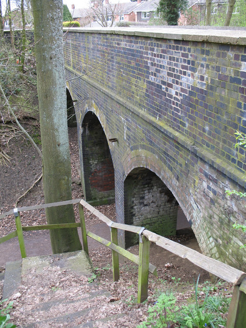
Image: © Martin Addison Taken: 20 Apr 2006
Bridge carrying Ambrose Lane over the dismantled Harpenden and Hemel Hempstead Railway. The steps, which provide a link to the trackbed, are currently closed as they are deemed dangerous.
Images are licensed for reuse under creativecommons.org/licenses/by-sa/2.0
Image Location


Leaflet Map data © OpenStreetMap
Latitude
51.823984
Longitude
-0.360354