The old drive to Hempshill Hall
Introduction
The photograph on this page of The old drive to Hempshill Hall by Alan Murray-Rust as part of the Geograph project.
The Geograph project started in 2005 with the aim of publishing, organising and preserving representative images for every square kilometre of Great Britain, Ireland and the Isle of Man.

There are currently over 7.5m images from over 14,400 individuals and you can help contribute to the project by visiting https://www.geograph.org.uk
The old drive to Hempshill Hall
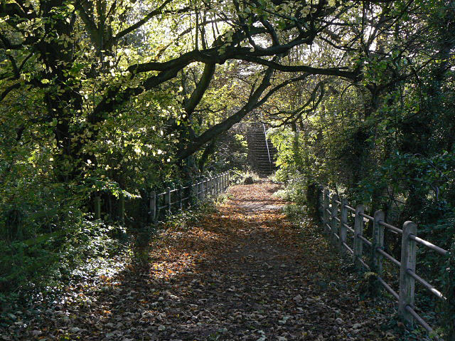
Image: © Alan Murray-Rust Taken: 25 Oct 2009
The drive was cut by the construction of the A610 Nuthall Bypass, but still functions as a public footpath. The width of the new road meant that a long flight of steps had to be built for the path.
Images are licensed for reuse under creativecommons.org/licenses/by-sa/2.0
Image Location
Latitude
52.989957
Longitude
-1.218906