Nicky Line
Introduction
The photograph on this page of Nicky Line by Martin Addison as part of the Geograph project.
The Geograph project started in 2005 with the aim of publishing, organising and preserving representative images for every square kilometre of Great Britain, Ireland and the Isle of Man.

There are currently over 7.5m images from over 14,400 individuals and you can help contribute to the project by visiting https://www.geograph.org.uk
Nicky Line
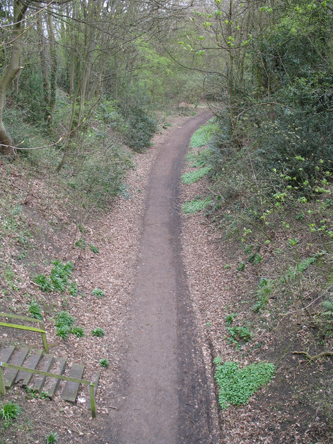
Image: © Martin Addison Taken: 20 Apr 2006
Once a branch line from Harpenden to Hemel Hempstead, the tracks were lifted after freight traffic to Cupid Green ceased in 1979. The track bed was turned into a cyclepath and forms part of the National Cycle Network.
Images are licensed for reuse under creativecommons.org/licenses/by-sa/2.0
Image Location
Latitude
51.823984
Longitude
-0.360354