Mallory Road
Introduction
The photograph on this page of Mallory Road by Simon Carey as part of the Geograph project.
The Geograph project started in 2005 with the aim of publishing, organising and preserving representative images for every square kilometre of Great Britain, Ireland and the Isle of Man.

There are currently over 7.5m images from over 14,400 individuals and you can help contribute to the project by visiting https://www.geograph.org.uk
Mallory Road
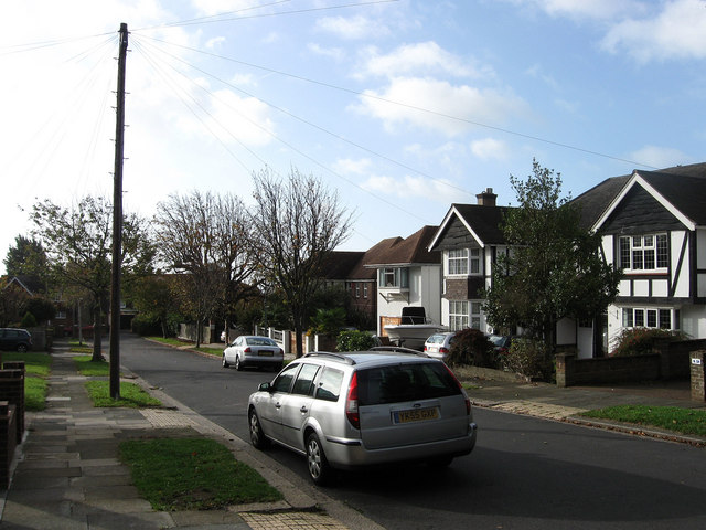
Image: © Simon Carey Taken: 25 Oct 2009
Residential road that starts to the north on Woodruff Avenue and finishes in a dead end to the south behind the Dairy Crest dairy on The Droveway. This is a view of the latter.
Images are licensed for reuse under creativecommons.org/licenses/by-sa/2.0
Image Location
Latitude
50.842743
Longitude
-0.162751