The Droveway
Introduction
The photograph on this page of The Droveway by Simon Carey as part of the Geograph project.
The Geograph project started in 2005 with the aim of publishing, organising and preserving representative images for every square kilometre of Great Britain, Ireland and the Isle of Man.

There are currently over 7.5m images from over 14,400 individuals and you can help contribute to the project by visiting https://www.geograph.org.uk
The Droveway
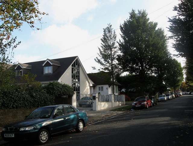
Image: © Simon Carey Taken: 25 Oct 2009
Residential road that links Goldstone Crescent to Dyke Road before continuing down the hill to Preston village as The Drove. This section is opposite Mowden School.
Images are licensed for reuse under creativecommons.org/licenses/by-sa/2.0
Image Location
Latitude
50.842074
Longitude
-0.160221