Kings Mill Bridge
Introduction
The photograph on this page of Kings Mill Bridge by Nigel Mykura as part of the Geograph project.
The Geograph project started in 2005 with the aim of publishing, organising and preserving representative images for every square kilometre of Great Britain, Ireland and the Isle of Man.

There are currently over 7.5m images from over 14,400 individuals and you can help contribute to the project by visiting https://www.geograph.org.uk
Kings Mill Bridge
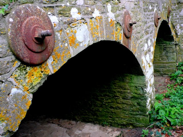
Image: © Nigel Mykura Taken: 18 Oct 2009
The bridge runs east west across the Stour and on the western side the approach road is elevated as it crosses low lying meadows. These are the minor arches that pierce the structure well to the west of the main arches. In times of flood they would allow excess water to flow through. When these shots were taken they were completely dry. The bridge was built in 1823. The structure has been extensively reinforced with tie-bars running through from one side to the other.
Images are licensed for reuse under creativecommons.org/licenses/by-sa/2.0
Image Location
Latitude
50.952489
Longitude
-2.335355