Kings Mill Marnhull
Introduction
The photograph on this page of Kings Mill Marnhull by Nigel Mykura as part of the Geograph project.
The Geograph project started in 2005 with the aim of publishing, organising and preserving representative images for every square kilometre of Great Britain, Ireland and the Isle of Man.

There are currently over 7.5m images from over 14,400 individuals and you can help contribute to the project by visiting https://www.geograph.org.uk
Kings Mill Marnhull
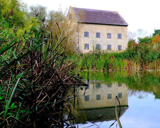
Image: © Nigel Mykura Taken: 28 Sep 2009
The present building on the River Stour was built in 1829 but there has been a mill on the site for much longer. It is close to a fine stone bridge across the river built in 1823.
Images are licensed for reuse under creativecommons.org/licenses/by-sa/2.0
Image Location
Latitude
50.953214
Longitude
-2.333652