Samuel Vale House
Introduction
The photograph on this page of Samuel Vale House by E Gammie as part of the Geograph project.
The Geograph project started in 2005 with the aim of publishing, organising and preserving representative images for every square kilometre of Great Britain, Ireland and the Isle of Man.

There are currently over 7.5m images from over 14,400 individuals and you can help contribute to the project by visiting https://www.geograph.org.uk
Samuel Vale House
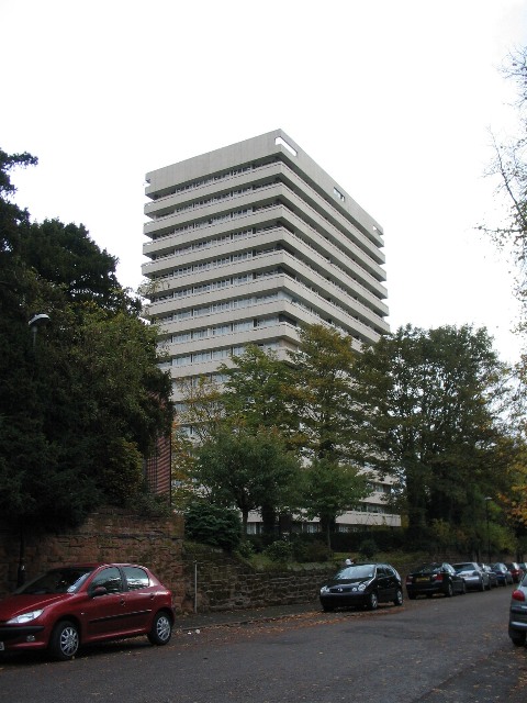
Image: © E Gammie Taken: 21 Oct 2009
A 1960s 17 storey block of flats standing between St Nicholas Street and St Columba's Close[1], viewed from St Columba's Close.
Images are licensed for reuse under creativecommons.org/licenses/by-sa/2.0
Image Location
Latitude
52.413669
Longitude
-1.513745