Gore Lane
Introduction
The photograph on this page of Gore Lane by Derek Harper as part of the Geograph project.
The Geograph project started in 2005 with the aim of publishing, organising and preserving representative images for every square kilometre of Great Britain, Ireland and the Isle of Man.

There are currently over 7.5m images from over 14,400 individuals and you can help contribute to the project by visiting https://www.geograph.org.uk
Gore Lane
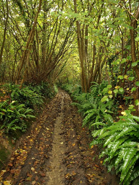
Image: © Derek Harper Taken: 23 Oct 2009
The muddy track shown fording the Trent Brook in Image climbs between damp ferns through a small wood towards Stallen.
Images are licensed for reuse under creativecommons.org/licenses/by-sa/2.0
Image Location
Latitude
50.949237
Longitude
-2.570784