Junction by the church
Introduction
The photograph on this page of Junction by the church by Alan Murray-Rust as part of the Geograph project.
The Geograph project started in 2005 with the aim of publishing, organising and preserving representative images for every square kilometre of Great Britain, Ireland and the Isle of Man.

There are currently over 7.5m images from over 14,400 individuals and you can help contribute to the project by visiting https://www.geograph.org.uk
Junction by the church
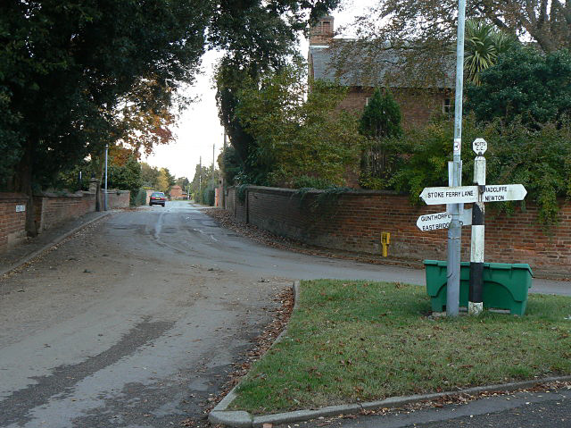
Image: © Alan Murray-Rust Taken: 23 Oct 2009
To the right West Street, to the left Stoke Ferry lane, and straight on along Church Street. The traditional County Council concrete fingerpost with cast iron octagonal finial is just about surviving.
Images are licensed for reuse under creativecommons.org/licenses/by-sa/2.0
Image Location
Latitude
52.974067
Longitude
-1.015917