Track across the airfield
Introduction
The photograph on this page of Track across the airfield by Alan Murray-Rust as part of the Geograph project.
The Geograph project started in 2005 with the aim of publishing, organising and preserving representative images for every square kilometre of Great Britain, Ireland and the Isle of Man.

There are currently over 7.5m images from over 14,400 individuals and you can help contribute to the project by visiting https://www.geograph.org.uk
Track across the airfield
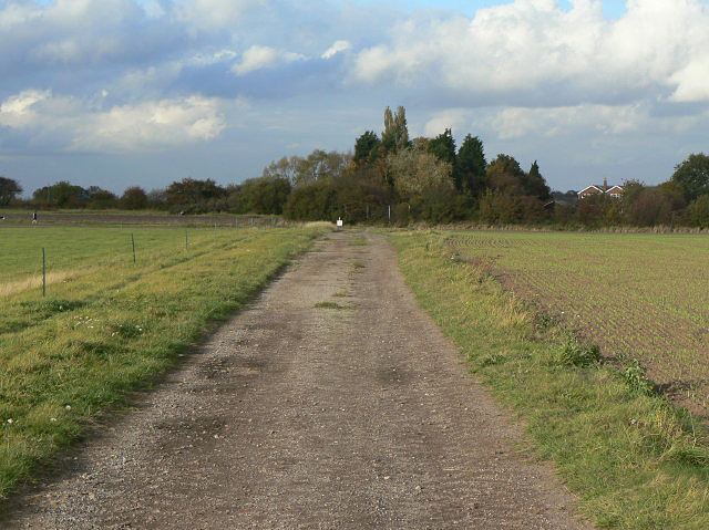
Image: © Alan Murray-Rust Taken: 23 Oct 2009
This now serves as a public bridleway as well as farm use.
Images are licensed for reuse under creativecommons.org/licenses/by-sa/2.0
Image Location
Latitude
52.968925
Longitude
-0.981787