Control tower and hangars
Introduction
The photograph on this page of Control tower and hangars by Alan Murray-Rust as part of the Geograph project.
The Geograph project started in 2005 with the aim of publishing, organising and preserving representative images for every square kilometre of Great Britain, Ireland and the Isle of Man.

There are currently over 7.5m images from over 14,400 individuals and you can help contribute to the project by visiting https://www.geograph.org.uk
Control tower and hangars
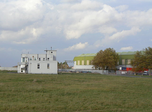
Image: © Alan Murray-Rust Taken: 23 Oct 2009
A bridleway cuts across the apron of the old airfield giving close up views of the old airfield buildings.
Images are licensed for reuse under creativecommons.org/licenses/by-sa/2.0
Image Location
Latitude
52.964982
Longitude
-0.983219