Brunts Lane
Introduction
The photograph on this page of Brunts Lane by Alan Murray-Rust as part of the Geograph project.
The Geograph project started in 2005 with the aim of publishing, organising and preserving representative images for every square kilometre of Great Britain, Ireland and the Isle of Man.

There are currently over 7.5m images from over 14,400 individuals and you can help contribute to the project by visiting https://www.geograph.org.uk
Brunts Lane
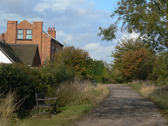
Image: © Alan Murray-Rust Taken: 23 Oct 2009
A restricted byway which links East Bridgford with the A6097. The restriction on use by motor vehicles seems to be reasonably well observed.
Images are licensed for reuse under creativecommons.org/licenses/by-sa/2.0
Image Location
Latitude
52.977253
Longitude
-0.967591