Living Spring
Introduction
The photograph on this page of Living Spring by Martin Addison as part of the Geograph project.
The Geograph project started in 2005 with the aim of publishing, organising and preserving representative images for every square kilometre of Great Britain, Ireland and the Isle of Man.

There are currently over 7.5m images from over 14,400 individuals and you can help contribute to the project by visiting https://www.geograph.org.uk
Living Spring
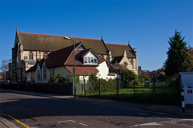
Image: © Martin Addison Taken: 23 Oct 2009
An apt choice of name for the Montessori Nursery School occupying the church hall of St. Michael's Church of Jesus Christ. It sits beside a strip of land (on the right) that carries the 42" and 48" Watermains that connect Cricklewood Pumping Station, across the road, with Golders Green and Hampstead Garden Suburb - see Image See also http://middlesexcountycouncil.org.uk/index.php?option=com_content&task=view&id=16&Itemid=35 for a diagram of the route and some commentary.
Images are licensed for reuse under creativecommons.org/licenses/by-sa/2.0
Image Location
Latitude
51.558644
Longitude
-0.225364