The Droveway
Introduction
The photograph on this page of The Droveway by Simon Carey as part of the Geograph project.
The Geograph project started in 2005 with the aim of publishing, organising and preserving representative images for every square kilometre of Great Britain, Ireland and the Isle of Man.

There are currently over 7.5m images from over 14,400 individuals and you can help contribute to the project by visiting https://www.geograph.org.uk
The Droveway
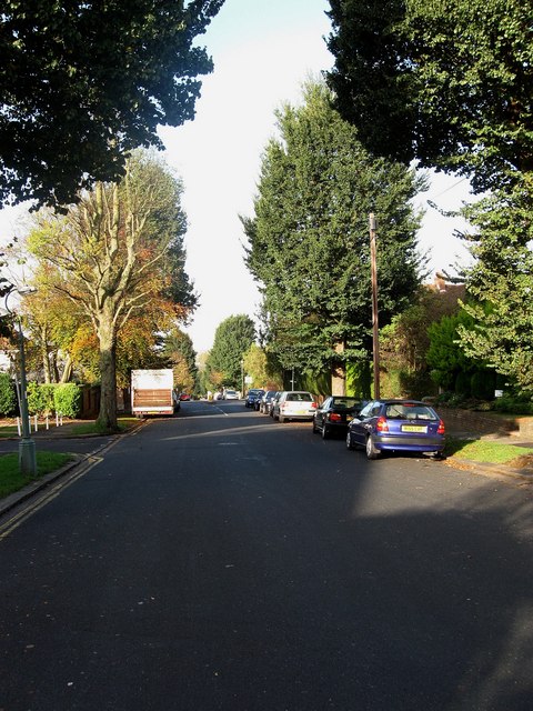
Image: © Simon Carey Taken: 25 Oct 2009
Residential road linking Dyke Road to Goldstone Crescent though the route itself is much older being the old droving route westwards from Preston village towards West Blatchington. A country track in 1912 it began being developed fully from 1928 onwards.
Images are licensed for reuse under creativecommons.org/licenses/by-sa/2.0
Image Location
Latitude
50.842229
Longitude
-0.164334