The Paddock
Introduction
The photograph on this page of The Paddock by Simon Carey as part of the Geograph project.
The Geograph project started in 2005 with the aim of publishing, organising and preserving representative images for every square kilometre of Great Britain, Ireland and the Isle of Man.

There are currently over 7.5m images from over 14,400 individuals and you can help contribute to the project by visiting https://www.geograph.org.uk
The Paddock
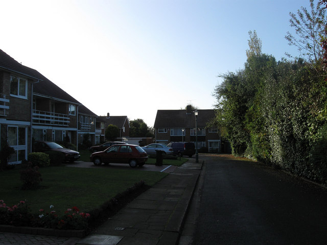
Image: © Simon Carey Taken: 25 Oct 2009
Small cul-de-sac off The Droveway developed in the late 1950s on the site of the former Avenue Tennis Club who amalgamated with the Pavilion Tennis Club and eventually moved back to Image in 1998.
Images are licensed for reuse under creativecommons.org/licenses/by-sa/2.0
Image Location
Latitude
50.841415
Longitude
-0.164082