Cricklewood Pumping Station
Introduction
The photograph on this page of Cricklewood Pumping Station by Martin Addison as part of the Geograph project.
The Geograph project started in 2005 with the aim of publishing, organising and preserving representative images for every square kilometre of Great Britain, Ireland and the Isle of Man.

There are currently over 7.5m images from over 14,400 individuals and you can help contribute to the project by visiting https://www.geograph.org.uk
Cricklewood Pumping Station
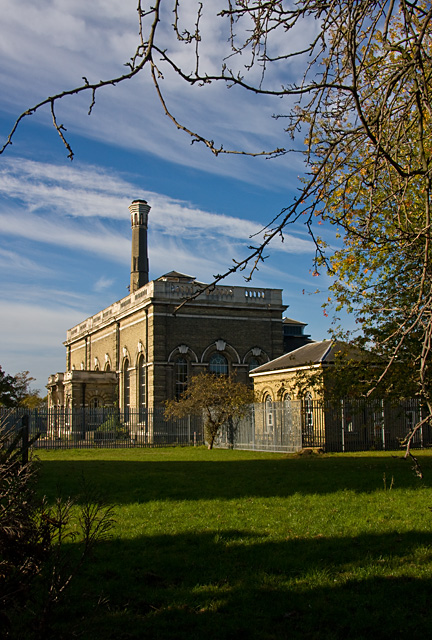
Image: © Martin Addison Taken: 23 Oct 2009
Located between St. Michael's Road and the Dudding Hill Loop railway line connecting Cricklewood with Acton, opposite St.Michael's Church. The station forms part of the Metropolitan Water Board's north London network of supply and is on the 42" and 48" mains that connect with the Lea Valley and the Waterworks at Kempton Park. See Image for part of the route through Southall and Image for part of the route through Golders Green.
Images are licensed for reuse under creativecommons.org/licenses/by-sa/2.0
Image Location
Latitude
51.558749
Longitude
-0.22637