Shirley Drive
Introduction
The photograph on this page of Shirley Drive by Simon Carey as part of the Geograph project.
The Geograph project started in 2005 with the aim of publishing, organising and preserving representative images for every square kilometre of Great Britain, Ireland and the Isle of Man.

There are currently over 7.5m images from over 14,400 individuals and you can help contribute to the project by visiting https://www.geograph.org.uk
Shirley Drive
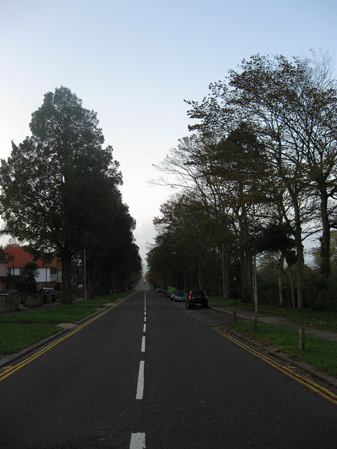
Image: © Simon Carey Taken: 25 Oct 2009
The road was laid out in 1920 as a northern continuation of Grand Avenue and The Drive giving a dead straight route from the sea to a point just north of the crossroads with Hove Park Road where it starts to curve to follow the contours of the former downland it was built on. The road was developed piecemeal afterwards starting in the 1920s and finally finishing in the late 1950s and is one of Hove's main artery routes northwards out of town which can be quite busy though not at sunrise on a Sunday. Hove Recreation Ground is beyond the hedge to the right.
Images are licensed for reuse under creativecommons.org/licenses/by-sa/2.0
Image Location
Latitude
50.83955
Longitude
-0.165575