Above Stoke tunnel
Introduction
The photograph on this page of Above Stoke tunnel by Andrew Tatlow as part of the Geograph project.
The Geograph project started in 2005 with the aim of publishing, organising and preserving representative images for every square kilometre of Great Britain, Ireland and the Isle of Man.

There are currently over 7.5m images from over 14,400 individuals and you can help contribute to the project by visiting https://www.geograph.org.uk
Above Stoke tunnel
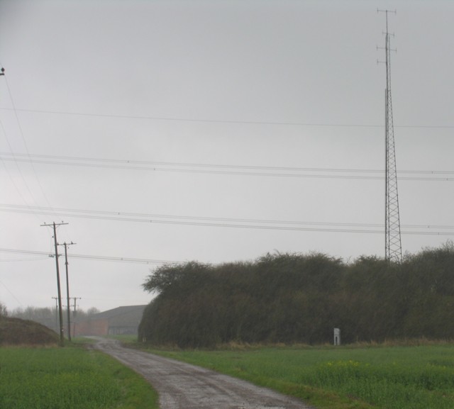
Image: © Andrew Tatlow Taken: 19 Apr 2006
The planned walk to stand atop Stoke Tunnel was abandoned due to torrential rain. Stoke Summit marked the beginning of the stretch of railway line to Peterborough where A4 Pacific locomotive Mallard reached 126mph in 1938.
Images are licensed for reuse under creativecommons.org/licenses/by-sa/2.0
Image Location
Latitude
52.848438
Longitude
-0.599712