Oakley, turnstile
Introduction
The photograph on this page of Oakley, turnstile by Mike Faherty as part of the Geograph project.
The Geograph project started in 2005 with the aim of publishing, organising and preserving representative images for every square kilometre of Great Britain, Ireland and the Isle of Man.

There are currently over 7.5m images from over 14,400 individuals and you can help contribute to the project by visiting https://www.geograph.org.uk
Oakley, turnstile
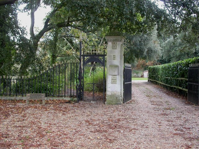
Image: © Mike Faherty Taken: 25 Oct 2009
Turnstile at the beginning of the footpath from Oakley Hill to Stapehill, next to Wimborne Lodge, and the former drive to Canford Hall. There is another turnstile to the right; both were presumably originally to keep livestock out, but now exclude cyclists.
Images are licensed for reuse under creativecommons.org/licenses/by-sa/2.0
Image Location
Latitude
50.791105
Longitude
-1.976965