Arable land north of Moorgreen
Introduction
The photograph on this page of Arable land north of Moorgreen by Trevor Rickard as part of the Geograph project.
The Geograph project started in 2005 with the aim of publishing, organising and preserving representative images for every square kilometre of Great Britain, Ireland and the Isle of Man.

There are currently over 7.5m images from over 14,400 individuals and you can help contribute to the project by visiting https://www.geograph.org.uk
Arable land north of Moorgreen
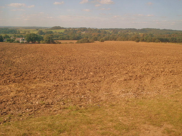
Image: © Trevor Rickard Taken: 10 Sep 2009
Looking north-west down a large worked field. Houses at the edge of Moorgreen on the left and High Park Wood on the right. Moorgreen Reservoir is hidden in the woodland at the bottom of the valley.
Images are licensed for reuse under creativecommons.org/licenses/by-sa/2.0
Image Location
Latitude
53.028614
Longitude
-1.27621