Lime Avenue, Lillington
Introduction
The photograph on this page of Lime Avenue, Lillington by Robin Stott as part of the Geograph project.
The Geograph project started in 2005 with the aim of publishing, organising and preserving representative images for every square kilometre of Great Britain, Ireland and the Isle of Man.

There are currently over 7.5m images from over 14,400 individuals and you can help contribute to the project by visiting https://www.geograph.org.uk
Lime Avenue, Lillington
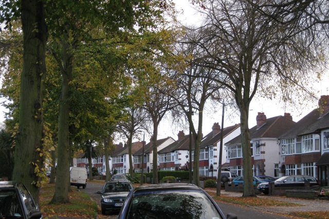
Image: © Robin Stott Taken: 24 Oct 2009
The road was extended north-west in the 1930s to open up the land for development of what would become New Cubbington, the estate whose roads are named after Scottish places and people "because of the ancestry of the landowners".
Images are licensed for reuse under creativecommons.org/licenses/by-sa/2.0
Image Location
Latitude
52.305567
Longitude
-1.526237