Kenilworth Road, New Cubbington
Introduction
The photograph on this page of Kenilworth Road, New Cubbington by Robin Stott as part of the Geograph project.
The Geograph project started in 2005 with the aim of publishing, organising and preserving representative images for every square kilometre of Great Britain, Ireland and the Isle of Man.

There are currently over 7.5m images from over 14,400 individuals and you can help contribute to the project by visiting https://www.geograph.org.uk
Kenilworth Road, New Cubbington
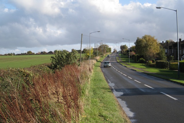
Image: © Robin Stott Taken: 24 Oct 2009
Looking from near Balmoral Way towards the Rugby Road, which runs on a ridge here. Properties on the north side of the road can be seen, left.
Images are licensed for reuse under creativecommons.org/licenses/by-sa/2.0
Image Location
Latitude
52.312687
Longitude
-1.508558