Sherborne: Victorian postbox in Westbury
Introduction
The photograph on this page of Sherborne: Victorian postbox in Westbury by Chris Downer as part of the Geograph project.
The Geograph project started in 2005 with the aim of publishing, organising and preserving representative images for every square kilometre of Great Britain, Ireland and the Isle of Man.

There are currently over 7.5m images from over 14,400 individuals and you can help contribute to the project by visiting https://www.geograph.org.uk
Sherborne: Victorian postbox in Westbury
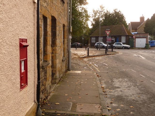
Image: © Chris Downer Taken: 24 Oct 2009
A wider view of Image Ahead of us, Westbury continues to the left while Lower Acreman Street goes off to the right.
Images are licensed for reuse under creativecommons.org/licenses/by-sa/2.0
Image Location


Leaflet Map data © OpenStreetMap
Latitude
50.944722
Longitude
-2.516924