Lane to Teignholt Cross
Introduction
The photograph on this page of Lane to Teignholt Cross by Derek Harper as part of the Geograph project.
The Geograph project started in 2005 with the aim of publishing, organising and preserving representative images for every square kilometre of Great Britain, Ireland and the Isle of Man.

There are currently over 7.5m images from over 14,400 individuals and you can help contribute to the project by visiting https://www.geograph.org.uk
Lane to Teignholt Cross
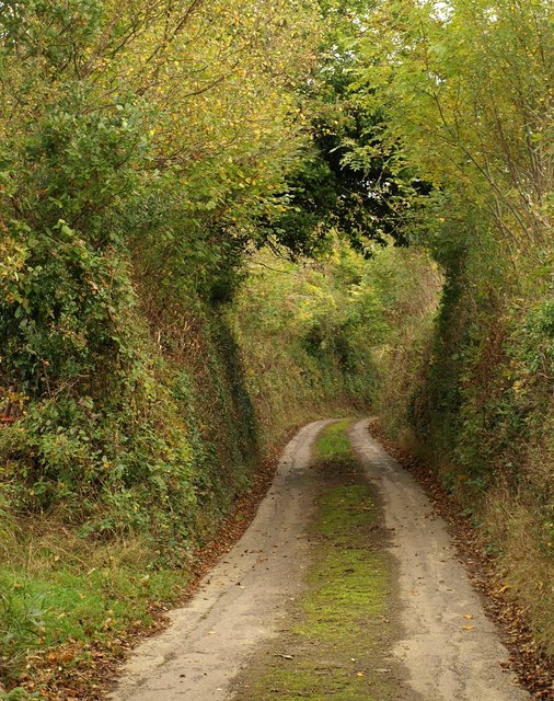
Image: © Derek Harper Taken: 17 Oct 2009
The lane from Swallowtree Cross to Teignholt Cross drops steeply down from a ridge into the valley of the River Troney. Not heavily used, as the grass down the centre shows.
Images are licensed for reuse under creativecommons.org/licenses/by-sa/2.0
Image Location
Latitude
50.757544
Longitude
-3.798361